


Survey numbers across Telangana, from Hyderabad's outskirts to every rural mandal.
- 33
- districts
- 10,800+
- villages
- 38 lakh+
- parcels
- Telugu & English
- Property reels & premium layers (RRR)
- Village map PDF, plain & visual
Telangana · Andhra Pradesh · Karnataka
LandGrid apps show the land survey boundaries of three states on high-resolution satellite maps. Tap any field to see its survey number and area, measure a plot before you visit, and download a printable map of a whole village.
Our apps
Each state has its own app, built on that state's survey data, district names and land units.
Survey numbers across Telangana, from Hyderabad's outskirts to every rural mandal.

All of Andhra Pradesh under the new district names, from Srikakulam to Chittoor.

Every district, taluk and village of Karnataka, from Bidar to Chamarajanagara.
What you can do
The same tools in every LandGrid app, for any village in the state.
Zoom into your village and survey numbers appear over high-resolution satellite imagery. Search by village, mandal or taluk, enter coordinates, or start from your GPS location.

Tap a parcel to open its card: survey number, village, mandal or taluk, district, and the area worked out from its boundary in acres-guntas and square yards. Save it, share it, or set an alert.

Tap the corners of a plot to get its area and perimeter, or draw a line or path to check a frontage or a road. Every side length is labelled on the map.

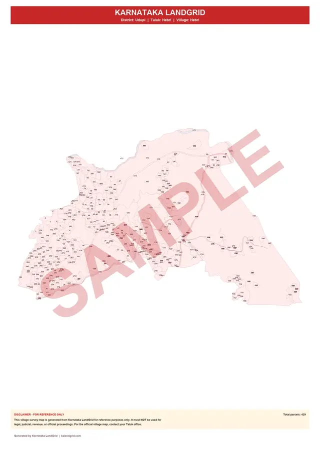
Every survey number and boundary of a village on one printable A3 sheet. Choose the plain map, or add a visual page with roads, water and land use behind the parcels. Preview a free sample before you pay.
Watch
A short tour of each app: finding a survey number, measuring a plot and getting a village map.
Telangana, Andhra Pradesh and Karnataka, each with its own app: Telangana LandGrid, Andhra Pradesh LandGrid and Karnataka LandGrid. Every district of each state is covered.
Yes. Searching the map, viewing survey numbers, boundaries and area, and measuring land are free. Only the full village survey map PDF is a one-time paid download.
No. LandGrid apps are independent and not affiliated with any government. They show publicly available survey boundaries for reference only. For official records, use your state's land records portal or revenue office.
No. They show the survey number, boundary, area, village, mandal or taluk and district only.
Pick your state and download the app free.